Introduction
Planning a trip to Chapada dos Veadeiros can look simple, but in practice you must decide how to get there, where to stay, which waterfalls to prioritise and when to go.
This guide gathers the essentials in one place so you can start with a clear picture of the region.
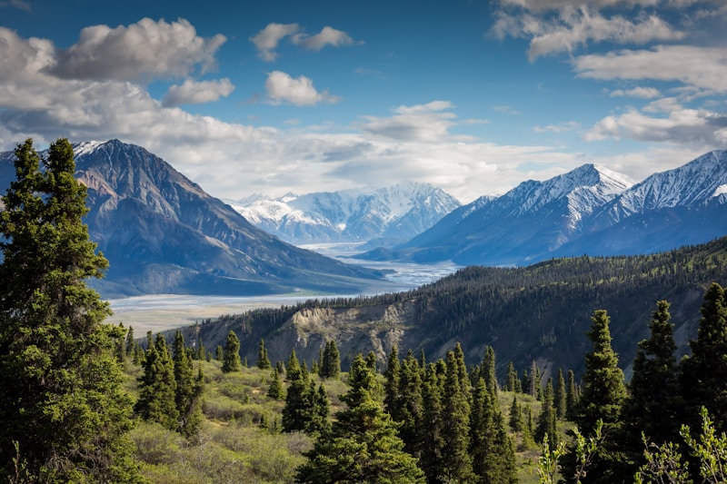
Chapada dos Veadeiros is part of a UNESCO World Heritage property, natural and cultural values, in the Cerrado, one of the planet's most biodiverse savanna regions. That scale is why logistics matter: each day benefits from clear priorities.
How to get there
Chapada dos Veadeiros lies in northeastern Goiás, roughly 230 km from Brasília and close to the border with Tocantins. The main visitor hubs are Alto Paraíso de Goiás, Cavalcante and the village of São Jorge.
Whatever base you choose, you will always need a land leg at some point: there are no airports inside Chapada dos Veadeiros.
Planning a trip? See our tips on where to stay in Chapada dos Veadeiros, with guesthouse picks in Alto Paraíso, São Jorge and Cavalcante.
Where Chapada dos Veadeiros is
Chapada dos Veadeiros National Park sits in northeastern Goiás, spanning parts of Alto Paraíso de Goiás (which includes São Jorge), Cavalcante, Teresina de Goiás, Nova Roma and São João d'Aliança. The park covers about 240,611 hectares of cerrado and is one of Brazil's most spectacular national parks.
The national park is the federal core of this landscape; the broader UNESCO-listed Chapada dos Veadeiros spans more cerrado, communities and heritage. Best experienced with time and respect, not only as a pin on the map.
Flying in
There is no airport in the Chapada. The closest major airport is Brasília (BSB), about 235 km from Alto Paraíso. From Alto Paraíso it is roughly 36 km more to São Jorge and about 90 km to Cavalcante. Goiânia (GYN) is another option at about 425 km from Alto Paraíso-handy if you are already in central Goiás and do not need to go through Brasília. From Goiânia the fastest route often still passes Brasília, for a total of about 430 km to Alto Paraíso. In every case the last stretch is by road.
Bus to Alto Paraíso
Without a car, a common pattern is Brasília's long-distance terminal to Alto Paraíso, the Chapada's main hub. There is no frequent direct bus all the way to São Jorge or Cavalcante. You usually connect through Alto Paraíso. The Brasília to Alto Paraíso leg is served by Real Expresso Guanabara, with several departures daily and fares from about BRL 69; always confirm current prices and times on the operator's website.
Getting to São Jorge village
There is no public bus straight to the village. By car, most people turn left at the Alto Paraíso junction and follow GO-239, paved and generally in good shape, for about 37 km and roughly half an hour. If you arrive in Alto Paraíso by bus, travellers often arrange a ride at the junction (it is common and there is usually shade), or book a taxi or private transfer. From Alto Paraíso's bus station, a transfer or taxi to São Jorge often runs around BRL 130 on average. Confirm the price in advance and ask your guesthouse for trusted drivers.
Getting to Cavalcante
Cavalcante is farther than São Jorge but holds some of the region's most sought-after waterfalls. By car from Alto Paraíso expect about 90 km: BR-110 toward Teresina de Goiás, then onto GO-241, about an hour on average. Pavement is usually good until Teresina; closer to Cavalcante it can get rougher and needs more care. There is no direct Brasília to Cavalcante bus: lines typically end in Teresina de Goiás (~22 km from Cavalcante), with fares from about BRL 99 and travel roughly 4h20 to 6h30, then you need a private ride or shared van to Cavalcante. From Alto Paraíso's terminal there are buses to Teresina (about BRL 20 and ~1 hour); from there use a van or local service to Cavalcante.
Suggested route in Google Maps (Brasília to Alto Paraíso).
If you are travelling by bus from Brasília, check timetables and tickets on the official site of Real Expresso Guanabara.
Once you are in the region, for day-to-day logistics between bases, waterfalls and trails, see our guide on getting around Chapada dos Veadeiros.
Car or bus
Car: The Brasília to Alto Paraíso run on BR-010 is usually easy driving: about 235 km from Brasília's airport, roughly 3h50 on average, well-kept asphalt and little truck traffic. Access roads to many waterfalls are mostly unpaved and can be rough. Consider a rental with enough clearance and drive gently to avoid damage. A car remains the most practical way to explore: public transport to attractions is limited and agency tours may not cover everything you want in one day. From Goiânia, the full hop to Alto Paraíso is often about 430 km, commonly via Brasília.
Bus: Long-distance buses work well for the main leg to Alto Paraíso; last-mile hops to São Jorge, Teresina or Cavalcante usually rely on transfer, taxi, van or hired car, as outlined above.
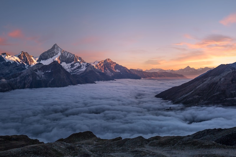
Best time to visit
You can visit the Chapada year-round, but the experience changes a lot across the months. There are two clear seasons: dry and rainy, and they directly affect trails, waterfall volume, safety, and prices.
May to September (dry season)
- Trails are generally drier and safer to walk.
- Less daily rain and easier planning.
- Many waterfalls stay beautiful; late dry season flows can be lower.
- July often overlaps with school holidays: book lodging early.
October to April (rains)
- Waterfalls are usually fuller and the landscape greener.
- Real risk of flash floods in streams and trails near river beds.
- Dirt trails and roads can be slippery or closed after storms.
- On the flip side, trails and dirt roads can get slippery or even impassable on some days.
Choose your travel style
- Want the best overall window: April, May, June, and July.
- Want full waterfalls and peak green: September and October. Watch the weather closely.
- Want to avoid the rainiest months: November to March need extra care and flexible itineraries.
- Want calmer crowds and better prices: avoid July, December, January, long holidays, Carnival, and Easter week.
On heavy rain days, do not enter rivers or follow stream beds. Flash floods are serious: water level can rise very fast.
Where to stay
Alto Paraíso, São Jorge and Cavalcante are the classic gateways. Below is a light overview with shortcuts to the lodging guide, the map and each regional guide.
Alto Paraíso de Goiás
The most structured town base: services, food and shops-handy for shorter drives to many sights.
São Jorge
Small village at the national park gate: slower pace, classic trails and a rustic feel.
Cavalcante
Gateway to Kalunga and big waterfalls; longer drives, deeper nature focus.
Sample itineraries
We publish ready-made 3-, 5- and 7-day itineraries. Below, when a published trip exists for each length, you get a short list of places and a link to the full day-by-day page and map.
Three days
Com cinco dias na Chapada dos Veadeiros, a viagem muda completamente de nivel. Voce deixa de apenas conhecer os lugares mais famosos e comeca a entender o ritmo da regiao, alternando dias intensos com momentos de descanso, explorando diferentes paisagens e…
Cachoeira Almécegas I, Cachoeira São Bento, Vale da Lua, Catarata dos Couros, Parque Nacional da Chapada dos Veadeiros, Cachoeira dos Cristais
Five days
Sete dias na Chapada dos Veadeiros permitem uma experiencia muito mais profunda. Voce sai do circuito basico e comeca a explorar regioes menos obvias, com mais tempo para absorver cada lugar, sem a sensacao de estar correndo. E o tipo de viagem que mistura…
Vale da Lua, Cachoeira Almécegas I, Catarata dos Couros, Cachoeira Santa Bárbara, Cachoeira Segredo, Parque Nacional da Chapada dos Veadeiros, Cachoeira dos Cristais
Seven days
Bem estar na Chapada nao e ficar parado no hotel o dia inteiro: e alternar agua, sol com responsabilidade, comida de verdade e momentos de contemplacao. Este roteiro mistura cachoeiras leves, o eixo Sao Jorge, pausas gastronomicas em Alto Paraiso, uma tarde…
Cachoeira Loquinhas, Restaurante Sabores do Cerrado, Loja Cristais da Chapada, Jardim de Maytrea, Vale da Lua, Caminho da Lua, Cachoeira dos Cristais, Aldeia Multiétnica, Cachoeira Poço Encantado, Bar do Cerrado
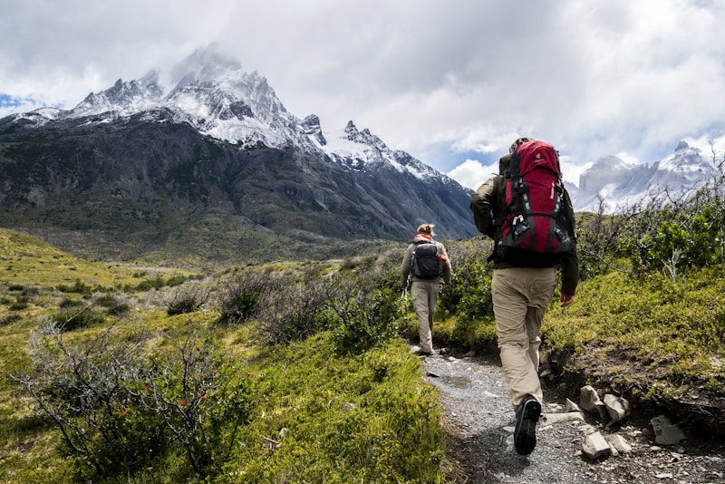
Essential tips
Treat this as your mini survival guide for a happy Chapada: fewer headaches, more waterfall swims, more time enjoying.
Flash floods: the most important warning. Heavy rain upstream can change a river in minutes. Leave the bed, do not cross fast water and follow local guidance.
- Roads: Main highways are often in good shape; access roads to waterfalls are often unpaved. A higher-clearance car or 4x4 helps after rain.
- Fuel: Fill up when you can. On long runs to Cavalcante or communities, plan with a full tank.
- Mobile signal: Outside towns coverage can disappear. Download offline maps and tell someone your plan.
- Night driving: Avoid if possible: wildlife, no lighting and potholes on dirt are common.
- Night skies: Away from town centres the sky is often dark enough for serious stargazing. Prefer nights without a full moon, use a dim or red flashlight and avoid bright floodlights in natural areas.
- Cash: Many properties and communities take cash only for entry or services. Carry change and keep cards as backup.
- Sun, skin, and hydration: Sunscreen is mandatory. In the dry season, add lip balm and drink plenty of water all day.
- Local guide: Many trails are self-guided, but at attractions like Santa Bárbara, Candaru, Capivara, and Complexo do Prata a guide is required. When you need one, prefer accredited professionals.
- Mindful travel: Do not light fires in the Cerrado, do not litter, follow each site’s rules, and watch your belongings, especially at more isolated viewpoints.
Quick packing checklist
All set. You are ready for the trip. Enjoy the Chapada!
Frequently asked questions
Do I need 4x4?
Not necessarily to reach Alto Paraíso. For many waterfall accesses and parts of Kalunga, a high-clearance or 4x4 vehicle is strongly recommended, especially in the wet season.
How many days do I need?
Two or three days cover a good slice near Alto Paraíso and São Jorge. Five or more days let you add Cavalcante, Kalunga and remoter sights without rushing.
Is there a bus from Brasília?
Yes, long-distance buses serve Alto Paraíso. From there, São Jorge and Cavalcante are usually reached by van or hired car.
Should I carry cash?
Yes. Bring cash for tickets, communities and small shops. Cards work in many places in Alto Paraíso, but do not rely on them alone.
Are there tolls?
On the main Brasília to Alto Paraíso route described here, usually not. Confirm if you pick alternative highways.